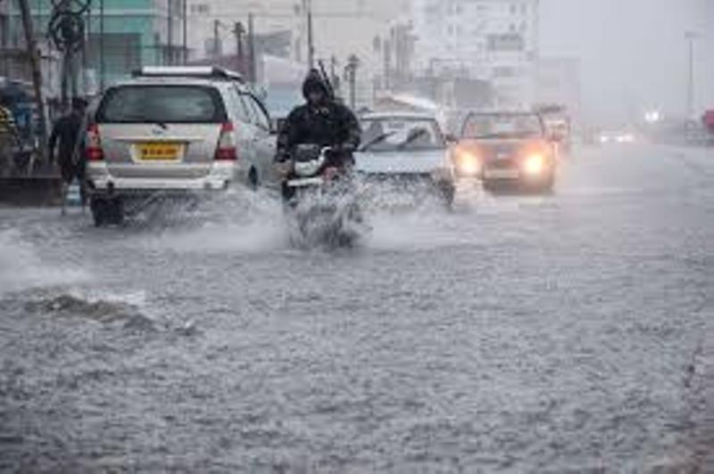
Bhubaneswar: Odisha continues to witness intense rainfall as an active depression and a strengthening low-pressure area bring widespread showers and storms. The India Meteorological Department (IMD) has now issued a Red Alert for the state, warning of very heavy to extremely heavy rainfall in the coming days.
Active Depression and Twin Systems Behind Ongoing Rains
Rain continues to lash several parts of Odisha under the influence of an active depression centered over South Gangetic West Bengal and Bangladesh. The system formed over the north Bay of Bengal on Sunday and intensified into a depression by Monday afternoon. It is now moving in a northwest direction, bringing with it heavy to very heavy rainfall over Odisha and neighboring regions.
At the same time, another low-pressure area over northwest Madhya Pradesh and its adjoining regions is intensifying, adding to the rainfall activity across eastern and central India.
IMD Issues Red Alert, Warns of Extremely Heavy Rainfall
With two strong weather systems in play, the IMD has upgraded its warning to a Red Alert for parts of Odisha. The department has predicted that several districts could receive up to 20 cm of rain over the next two days.
IMD Director General Mrutyunjay Mohapatra said,
“THE DEPRESSION IS CURRENTLY LOCATED TO THE NORTHEAST OF KOLKATA AND WILL MOVE NORTHWEST. NORTH ODISHA, GANGETIC WEST BENGAL, JHARKHAND, AND NORTH CHHATTISGARH ARE LIKELY TO RECEIVE HEAVY TO VERY HEAVY RAINFALL. A FEW PLACES MAY GET EXTREMELY HEAVY RAIN UP TO 20 CM.”
High Alert for Coastal and Riverine Areas
The state has been experiencing consistent rainfall for the last 15–20 days due to repeated low-pressure formations. As a result, rivers like the Subarnarekha and Budhabalanga have already witnessed flooding.
The IMD has warned that rainfall will further increase in the upper and lower catchments of the Mahanadi, Bramhani, and Baitarani rivers, raising the risk of more flooding.
North Odisha is likely to face extremely heavy rainfall today.
Western Odisha may experience a similar situation tomorrow.
Southern Odisha, however, is expected to get lighter rain except in a few pockets.
Sea Turns Rough, Fishermen Warned to Stay Ashore
Due to the depression’s impact, the sea remains rough and unsafe for fishing activities. Wind speeds over the sea are blowing at 40 to 50 km per hour.
The IMD has hoisted Local Cautionary Signal No. 3 at all major ports and advised fishermen not to venture into the sea until further notice.
Wind speeds on land in parts of North Odisha may reach 30 to 40 km per hour today and tomorrow, especially during thunderstorms.
Rainfall Likely Till July 19, May Ease After July 17
While heavy rain is expected to continue till July 19, the IMD says that the intensity may gradually reduce after July 17. However, isolated showers may still occur in some parts of north and southern Odisha till the end of the week.
Government on Alert, People Urged to Stay Safe
The Odisha government has asked district collectors to remain on high alert. Control rooms are active in all major districts. People in flood-prone, low-lying, and riverbank areas have been told to stay prepared and avoid unnecessary movement.
Emergency teams, including ODRAF, NDRF, and fire services, are on standby to handle any critical situations.
With both a depression and a low-pressure system active, Odisha faces one of its most intense monsoon spells of the season. The IMD’s Red Alert is a clear signal for residents to stay alert and follow safety instructions. From rising rivers to rough seas, the state must brace for a few more days of turbulent weather.


